Different needs, one solution: Skymetry
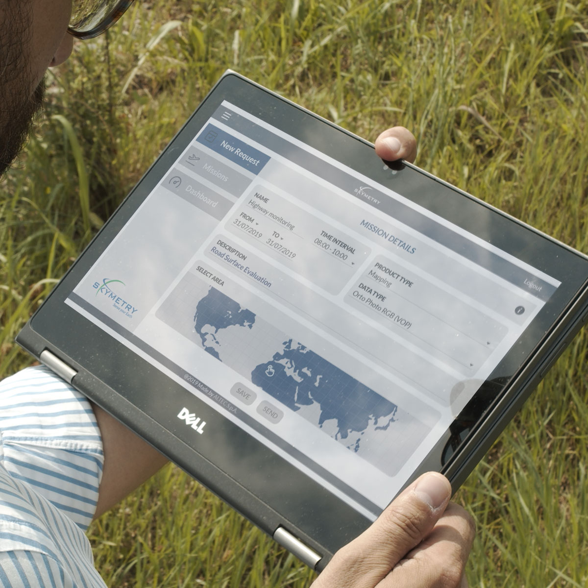
Skymetry is our end-to-end solution that provides aerial mapping reports based on your corridor mapping needs
An accurate and periodic digital terrain mapping is crucial for planning, designing and analyzing linear infrastructures including highways, roads, oil and gas pipelines, in order to determine their feasibility, assess environmental impacts, plan their maintenance and prevent damages.